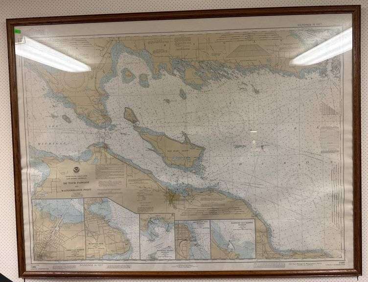
Framed nautical chart titled “De Tour Passage to Waugoshance Point,” published by the US Department of Commerce through the National Oceanic and Atmospheric Administration (NOAA) and the National Ocean Service. Includes LORAN-C overprinting, soundings in feet, and a scale of 1:80,000. The map frame measures approximately 50×38 inches.